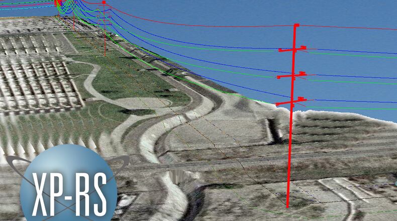
The helicopter will be using LIDAR sensing. LIDAR stands for Light Detection and Ranging, and is similar to radar, but is more precise and is used to examine structures like bridges. In Hamilton’s case, “the technology is being used to get detailed information about our transmission lines,” said spokesman Jacob Stone-Welch.
The helicopter will be hovering “as close to the wires as physically safe,” Stone-Welch said. “The closer they can get, the better data they can get.”
Knowing how much transmission wire there is lets utility officials know “the total capacity of a transmission line,” he said. “The more hang there is in between two poles, the actual more wire there is. By knowing that, we have a much better idea of what the capacity of our transmission lines are, which helps us plan future improvements where they may be needed.”
It also lets the city’s utility know if it can successfully move load on a temporary basis from one transmission line to another while work is being performed on the system.
The crews performing the work do this job exclusively across the country. Depending on weather conditions, the work should take 2-4 hours during a single day. The project will cost Hamilton $154,758 and will survey 45 miles of transmission lines, including at its hydroelectric facilities along the Ohio River.
About the Author
