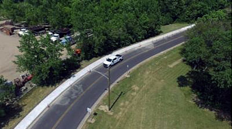
“There is a lot more of an appetite for connectivity – more than 30 years ago,’’ said Ben Mann, the city’s public works director.
“It’s more inherent for people (to ask) if I can walk instead of getting in my car.”
Towards that goal the master plan identifies ways to connect to parks, existing trails, the Town Center, neighborhoods and major destinations – including schools.
In 2020 the city had about 200 miles of sidewalks – mostly in residential neighborhoods as part of subdivision requirements.
Since then, there have been more than 16 projects that added 6.5-plus miles of sidewalks and multi-use paths, said Nicholas Dill, city engineer.
“To date, most of the paths have been constructed in parks,’’ Dill said. The cost was almost $3 million, with $2 million of that coming from sources other than taxpayer dollars – mostly grants.
“If we’re doing a major roadway project – such as a widening – then we’re looking at the connectivity plan and adding sidewalks,’’ Mann said.
As an example, he cited the S. Gilmore Road project. When phase two is finished this summer there will be continuous sidewalks on the west side of the road between Resor and Parkland Hills.
“A majority of our work on connectivity was Ohio 4 and the high school – for safety reasons,” Mann said.
“A big takeaway early was the number of kids walking to school. Lots of people have to walk to their job or walk between businesses.”
Using Community Development Block Grants, the city was able to add sidewalks connecting the senior high School, freshman campus, Crossroads Intermediate, and the stadium, Mann said.
Future projects will use CDBG dollars to complete the loop around the Jungle Jim’s area and connect to the Ohio 4 sidewalk.
Money from the American Rescue Plan Act helped construct sidewalks to fill the gaps, especially where the topography made it challenging to develop including parts of Resor and Ross roads.
Oftentimes, sidewalks, trails, or paths with gaps kept people from using them, Mann said.
Between 2026 and 2029 nine construction projects are in the capital improvement budget to expand the city’s transportation network, Dill said.
They will add more than 4.7 miles of sidewalk and path at a cost of about $5.6 million, of which $3.3 million is expected to come from grants or other non-taxpayer dollars.
“The next five years we’ll focus on regional trails,’’ Mann said. “They will have a transformational effect on how people in Fairfield get to and from places. We’ll focus on (connecting to) Town Center and the Great Miami River Trail. Those are big initiatives that will have a lasting impact.”
Smaller projects will also move forward, officials said.
“In addition … public works will continue to improve pedestrian access as part of traditional roadway improvements, many of which are made possible due to state and federal funding,” Dill said.
To view an interactive update of the Fairfield Connects plan, visit www.fairfield-city.org/974/Fairfield-Connects.
Future Trails projects:
*Pleasant Avenue between Hunter Road and Wessel Drive: It will connect Harbin Park to Town Center. It’s in the design phase and will be partially funded through federal grant administered by Ohio-Kentucky-Indiana Regional Council of Governments
*River Road west between Groh Lane and Wessel Drive: It will connect the Great Miami River Trail to Town Center
*Great Miami River Trail extension from Waterworks Park, along Groh Lane to Marsh Park. It’s in the design phase and will be partially funded by a federal grant through OKI.
*Marsh Lake interior trails: They are in the design phase with construction expected in 2026. Funding will come, in part, with a state capital grant through the Ohio Department of Natural Resources.
About the Author


