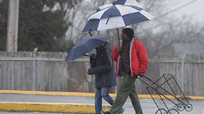
You may not be surprised to learn that other than a decent snow event in mid-December, we’ve been in a relative “snow drought” since before Christmas. In fact, we’ve only had just over one inch of snow in Dayton so far in January. Compare that to just over 5 inches recorded in Dayton in the month of December. The warm weather has forced Dayton to miss nearly a half a foot of average snowfall for the season and that snow drought may grow. While snow is back in the forecast, no major winter storms are foreseen for the rest of the month.
But as I’ve pointed out before, Ohio can get some of our bigger snow events in February and even well into March. We are currently in a La Nina climate pattern which typically brings us wetter than average winters. So far, that has certainly been the case with January rainfall well over an inch above normal. In fact, there have only been four days in January without precipitation. La Nina years typically bring us seasonably normal temperatures during the winter months. While December did average about a degree below normal, January has soared to an average of nearly six degrees above normal.
When looking back at the last time the Miami Valley experienced a La Nina winter similar to the strength of the current one, we saw temperatures increasingly warm late into the winter season. That was in early 2012. But if you go back a bit farther into the record books, the last time parts of the Miami Valley had a blizzard warning in effect was in March of 2008. On March 8th of that year, over a foot of snow fell in many parts of central and southern Ohio. So big storms can happen in La Nina winters here in Ohio.
The fact is it would likely take a big winter storm or two to even get us up to our normal snowfall amounts for an average winter. And for now, we’ll likely have to wait until February for our next chance of a bigger snow event. But as I tell my followers on Facebook, we still have plenty of winter left to go.
Eric Elwell is WHIO StormCenter 7 Chief Meteorologist. Contact him at eric.elwell@coxinc.com or follow him on Facebook and Twitter.
About the Author
